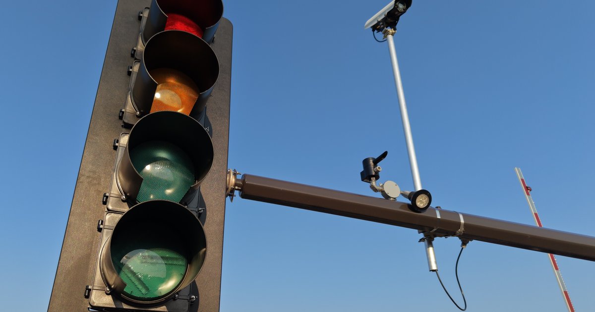
What Is a Flock Camera Map?
A flock camera map is a crowd-sourced or FOIA-sourced visualization showing where Flock Safety's automated license plate readers (ALPRs) are installed across the United States. These solar-powered cameras photograph every passing vehicle, run the plate through hot lists, and store the scan for 30 days by default — long enough for police to query it during investigations. As of 2026, Flock claims deployments in more than 5,000 U.S. communities, ranging from small HOAs to major-city police departments.
Because Flock cameras are often installed on public rights-of-way without public notice, journalists, researchers, and privacy groups have built independent maps using public-records requests. The best-known is the DeFlock map, an open-source project that lets users report camera locations they spot in the wild. The EFF Atlas of Surveillance also plots confirmed ALPR deployments alongside other police tech.
Why People Look for a Flock Camera Map
Search intent behind "flock camera map" usually falls into a few buckets. Some drivers want to know if their commute is being logged. Property owners want to see whether their HOA-installed cameras are visible to outsiders. Journalists and defense attorneys need to know which agencies operate cameras near a crime scene or protest route. And privacy-minded residents want to push back at city council meetings with concrete data.
Whatever the motivation, a map alone answers only half the question. It tells you where cameras exist — not whether your specific plate has been captured, by which agency, and on what date. For that, you need scan history tied to a plate number.
How Flock Cameras Actually Work
Each Flock camera captures a still image of every vehicle that passes, then extracts the plate characters, vehicle color, make, body type, and even distinguishing features like roof racks or bumper stickers — Flock calls this a "vehicle fingerprint." The data is uploaded to a cloud database that participating agencies can search. If an agency in Ohio has a warrant for a stolen Toyota, they can query any Flock camera nationwide that's part of the network Flock calls the "National Lookup."
Retention is nominally 30 days, but many agencies download and preserve hits indefinitely. FOIA requests to police departments frequently return spreadsheets showing thousands of individual plate reads — the raw material that makes public transparency tools possible.
State Rules That Shape What You Can See
ALPR regulation varies wildly by state, which affects both what shows up on a flock camera map and what public-records requests will return.
- California requires agencies operating ALPRs to publish a public usage policy under Civil Code §1798.90.5, and the state Attorney General has sued cities (notably a 2023 bulletin to Marin County) for sharing ALPR data with out-of-state or federal agencies.
- Virginia passed HB 2724 in 2025 limiting ALPR data retention to 21 days and restricting queries to specific investigative purposes.
- Illinois requires ALPR audits under the Automatic License Plate Reader Privacy Act (50 ILCS 707), giving residents statutory grounds to request logs.
- New Hampshire effectively bans persistent ALPR use for non-toll purposes under RSA 261:75-b, which is why the state is largely blank on most Flock maps.
These statutes matter because they determine whether a FOIA response will include your plate reads at all — and in states like New Hampshire, cameras simply aren't there to map.
Combining a Camera Map With a License Plate Lookup
The most powerful use of a flock camera map is pairing geographic data with plate-specific scan history. Say you spot three Flock cameras on the DeFlock map along your route to work. That tells you the infrastructure exists. But if you run a license plate lookup on your own tag and see zero scans, you know your plate hasn't triggered any hot-list alerts or been captured in a way that made it into a public records release. If you see 42 scans across four agencies, that's a very different picture.
PlateQuery aggregates ALPR reads released through public-records requests and attaches them to individual plates. Anyone can open a plate's page and see when and which agency's Flock network recorded it. If you're new to plate research, our guide on what's actually possible with a free license plate lookup in 2026 walks through what public data is and isn't accessible.
State-Specific Examples
Flock deployments cluster heavily in certain regions. Suburban Atlanta, the Dallas–Fort Worth metroplex, and much of Florida have dense coverage — sometimes multiple cameras per intersection. The Mid-Atlantic is a mixed picture: Maryland has widespread municipal deployments, while some New Jersey towns have voted them down. Our Maryland license plate lookup guide covers what state-specific records add on top of ALPR data, and the New Jersey equivalent walks through that state's tighter DPPA enforcement.
Privacy Tradeoffs of Public Camera Maps
Public flock camera maps are controversial. Police unions argue that mapping camera locations helps criminals avoid them. Civil liberties groups counter that residents can't consent to surveillance they don't know exists. Courts have generally sided with transparency — camera locations on public streets are not confidential — but a few jurisdictions have tried to invoke security exemptions to withhold locations from FOIA responses.
The practical result: most locations end up mapped eventually, either through DeFlock user reports, agency budget documents, or contract disclosures required under state procurement law.
Frequently Asked Questions
Is there an official Flock Safety camera map?
No. Flock Safety does not publish a public map of its customers' camera locations. All publicly available maps are third-party projects built from FOIA data, city council records, and citizen sightings.
Can I find out if my plate has been scanned?
Yes, sometimes. If an agency released ALPR logs in response to a public-records request, those scans may be searchable. PlateQuery's plate pages surface exactly this data when it's available.
How accurate are Flock camera maps?
DeFlock and similar maps are approximately 70–90% accurate depending on the region — they lag behind new installs and occasionally include decommissioned cameras. Municipal contract documents are the most authoritative source.
Can I opt out of Flock scanning?
Generally no. Some jurisdictions allow residents to request their plate be excluded from certain databases, but the cameras still capture the image. Flock introduced a limited opt-out registry in 2024 that a handful of agencies honor.
Practical Takeaway
A flock camera map tells you where the infrastructure lives; a license plate lookup tells you what that infrastructure has done with your plate. Use both together. Start by checking a public map like DeFlock for your neighborhood, then head to PlateQuery, search your own plate, and review the ALPR scan history section — it draws directly from FOIA'd agency logs and shows the date and agency for each read. If you'd rather not have that information visible to anyone else, open your plate's page and click Claim Ownership to start a $1.99/month subscription that hides both messages and scan history from public view while keeping the page live. It's the most direct way to combine transparency with personal control.